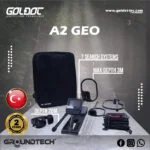
A2 Geo
Please login to leave a review:
Loading reviews...
Store & Products
Warranty & Training
Shipping & Payment




- EUR: € 2.492,56
- EUR: € 1.869,42
- EUR: € 578,63
- EUR: € 4.005,90
Coupon Opportunity!
The Groundtech A2 Geo is the ultimate underground expert, combining advanced 3D Magnetic Scanning with Geo-Electric Resistivity technology. This flagship model is engineered to detect not only magnetic metals but also water aquifers, tombs, and ancient tunnels, penetrating depths up to 20 meters.
Key Highlights: • Dual-System Power: MFS-3 Ground Scanner for 3D imagery and Resistivity technology for deep geological mapping. • Versatile Resistivity: Automatic and Manual modes allow for precise depth and resistance measurements, perfect for geologists. • G-Portal Integration: Real-time Bluetooth data transfer to the G-Portal app for instant depth and composition analysis. • Professional Grade: Robust build with a 240 MHz processor and long-lasting Li-ion power.GROUNDTECH A2 GEO
THE UNDERGROUND EXPERT | Unrivaled Dual System Technology
“The ultimate combination of Magnetic Scanning and Geo-Electric Resistivity. Engineered for professionals seeking extreme depths, hidden water sources, and ancient subterranean structures.”
The Professional’s Choice for Deep Exploration
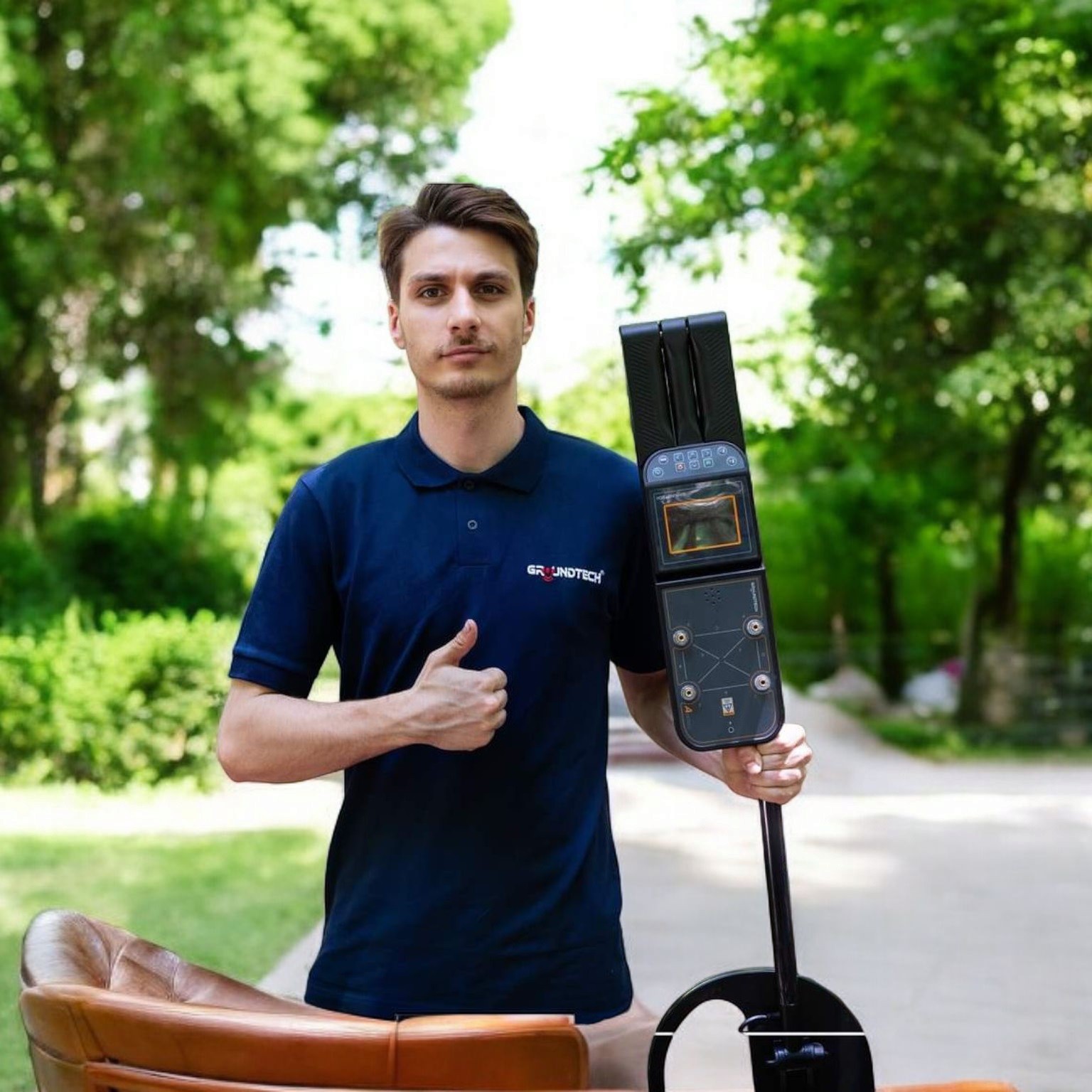
The Groundtech A2 Geo is the flagship model developed by Conrad Engineering, designed to push the boundaries of subsurface exploration. Unlike standard metal detectors that rely solely on magnetic or VLF pulses, the A2 Geo is a comprehensive geophysical workstation.
By integrating two of the most powerful detection methods—3D Magnetic Ground Scanning and Geo-Electric Resistivity—into a single, robust device, it becomes the ultimate tool for deep archaeological mapping, precise water detection, and locating large subterranean voids or non-magnetic precious metal caches.
Dual System Core Technologies
1. MFS-3 Ground Scanner
The highly sensitive MFS-3 dual-sensor system is engineered for creating high-resolution 3D graphics of magnetic anomalies. It excels at identifying buried metals, structural voids, ancient foundations, and tombs up to 20 meters deep. The data is transmitted in real-time to your tablet for instant visualization.
2. Geo-Electric Resistivity
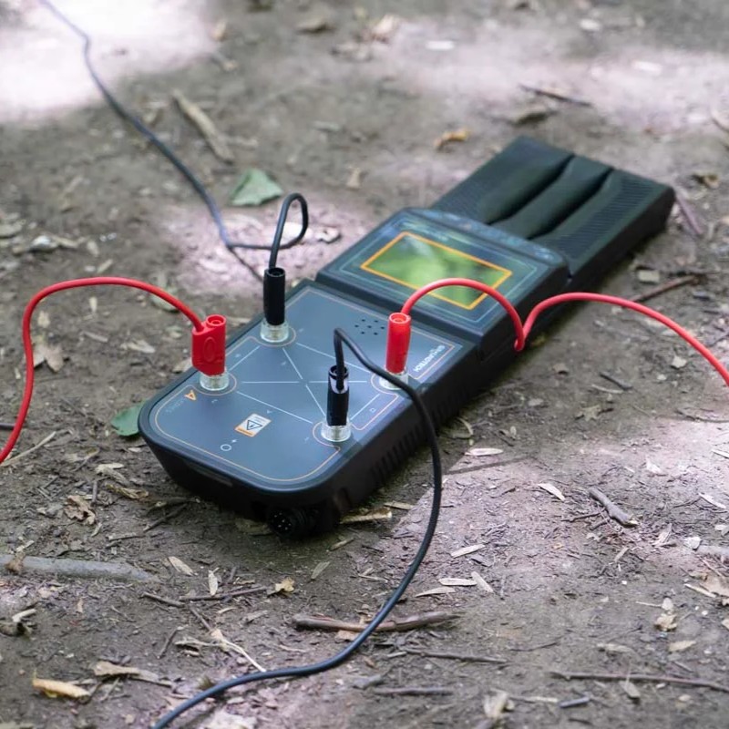
Utilizing 4 heavy-duty probes, this system injects up to 100V of electrical current into the earth. By measuring the soil’s resistance, it accurately identifies groundwater aquifers (low resistance) and massive cavities or non-magnetic metal vaults (high resistance) at extreme depths that magnetic scanners cannot reach.
Versatile Scanning Modes
- 3D Ground Scanning
Systematically map the underground terrain. The device records data point-by-point, translating variations in the magnetic field into a 3D model that reveals target shape, exact depth, and dimensions up to 20m. - Automatic Resistivity
Designed for ease of use. Hammer the 4 probes into the ground, and the A2 Geo’s processor automatically calculates the complex resistance formulas, instantly indicating the presence of water or voids on the screen. - Manual Resistivity
Built for experienced geologists and engineers. This mode allows the operator to manually select the active probes and customize the scanning parameters for highly specific localized measurements. - Live Scan & Pinpointer
Need a quick check before excavating? The Live Scan mode provides real-time, instantaneous feedback of what is directly beneath the MFS-3 sensor, perfect for rapid area surveying.
Advanced 3D Analysis Software
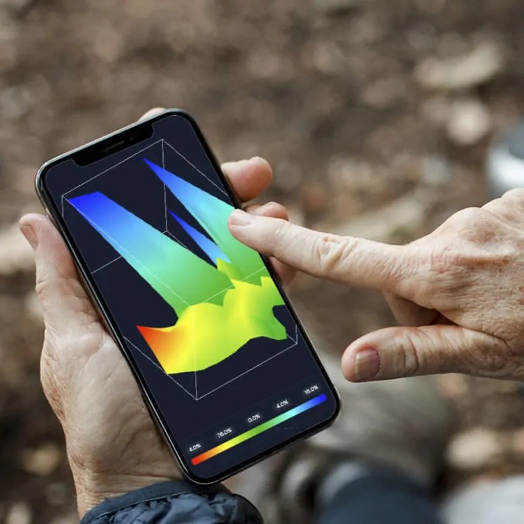
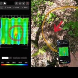
The hardware is only half the equation. The A2 Geo transmits all gathered data via high-speed Bluetooth 4.2 directly to the included tablet or your smartphone. Utilizing the proprietary Conrad 3D Analysis App (G-Portal compatible), users can rotate, zoom, and dissect the scanned data in full 3D color. The software automatically applies color-coding filters (e.g., Red for dense metals, Blue for cavities/water, Green for neutral soil) making interpretation intuitive and precise.
What’s in the Box?
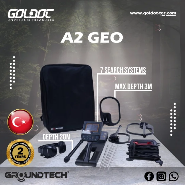
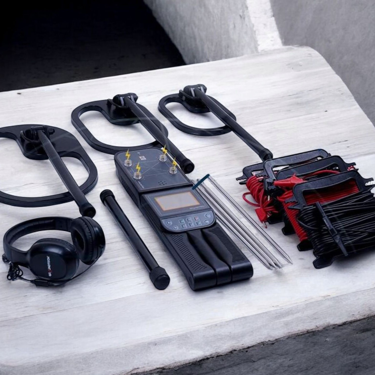
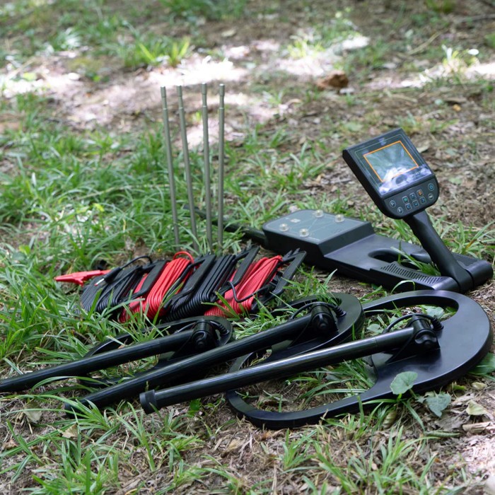
- ✔ A2 Geo Main Control Unit
- ✔ MFS-3 Dual Magnetic Sensor
- ✔ 4x Geo-Electric Ground Probes (Stainless Steel)
- ✔ 4x 25-Meter Connection Cables for Probes
- ✔ Pre-configured Android Tablet (with 3D Software)
- ✔ Ergonomic Telescopic Shaft
- ✔ Universal AC Charger & Car Adapter
- ✔ Impact-Resistant Pelican-style Hard Carrying Case
Technical Specifications
| System & Processor Info | |
| Device Type | Dual System (3D Gradiometer + Geo-Electric Resistivity) |
|---|---|
| Main Processor | 240 MHz Advanced CPU |
| A/D Converter | 12-bit High-Resolution A/D Converter |
| Sensor Technology | MFS-3 Dual Magnetic Sensor |
| Resistivity Output | 4 Probes (Operating at 100V / 66mA) |
| Memory Storage | 2 GB Internal (Saves 4000+ Individual Scans) |
| Performance Metrics | |
| Number of Search Systems | 7 Search Systems |
| Max Depth (Ground Scanner) | Up to 20 meters (Depending on target size and soil) |
| Max Depth (Resistivity) | Deep Geological Layers (Exceeds standard scanning limits) |
| Scanning Modes | 3D Scan, Live Scan, Auto Resistivity, Manual Resistivity, Pinpointer |
| Physical & Power | |
| Screen | Integrated 5″ TFT Color Touch Screen (800×480 resolution) |
| Connectivity | Bluetooth 4.2 / Wi-Fi |
| Software Compatibility | G-Portal App (Android & iOS) |
| Battery | High-Capacity Lithium-Ion (Up to 8 hours continuous use) |
| Operating Temperature | -10°C to 50°C (14°F to 122°F) |
| Total Weight | ~2.5 kg (Main Unit Fully Assembled) |
| Warranty | 2 Years Manufacturer Warranty |
Share this Device
Frequently Asked Questions
Why use the Resistivity System alongside the 3D Scanner?
How do I set up the Resistivity probes in the field?
Do I need to be a geologist to understand the 3D results?
Does the resistivity feature work in dry, rocky soil?

Technical Specifications
| SKU | GroundTech-A2-Geo |
|---|